We cross our wake!!
Slightly less warm today (Wed., June 25) though windy, but the best news was that all of us at the lock wall were able to lock through at 2:00!! A mandatory speed limit of five mph is being strictly enforced because of the condition of the locks and the earthen bank walls that had been repaired; the Canal Corps doesn’t want any boats speeding, as the wake action could cause potential harm to those repairs. Canal personnel know what boats have passed through each lock, so if you were to arrive earlier at the next lock than the time they have calculated it would take for boats moving at five mph, you will receive special, unwanted attention!
We are in a slow parade of nine boats.

We all fit in Lock 16, but only five of us fit in 17 and then 18.

There’s water, water everywhere …

… and the walls of the locks are pretty slimy, so you want to wear gloves when handling lines.

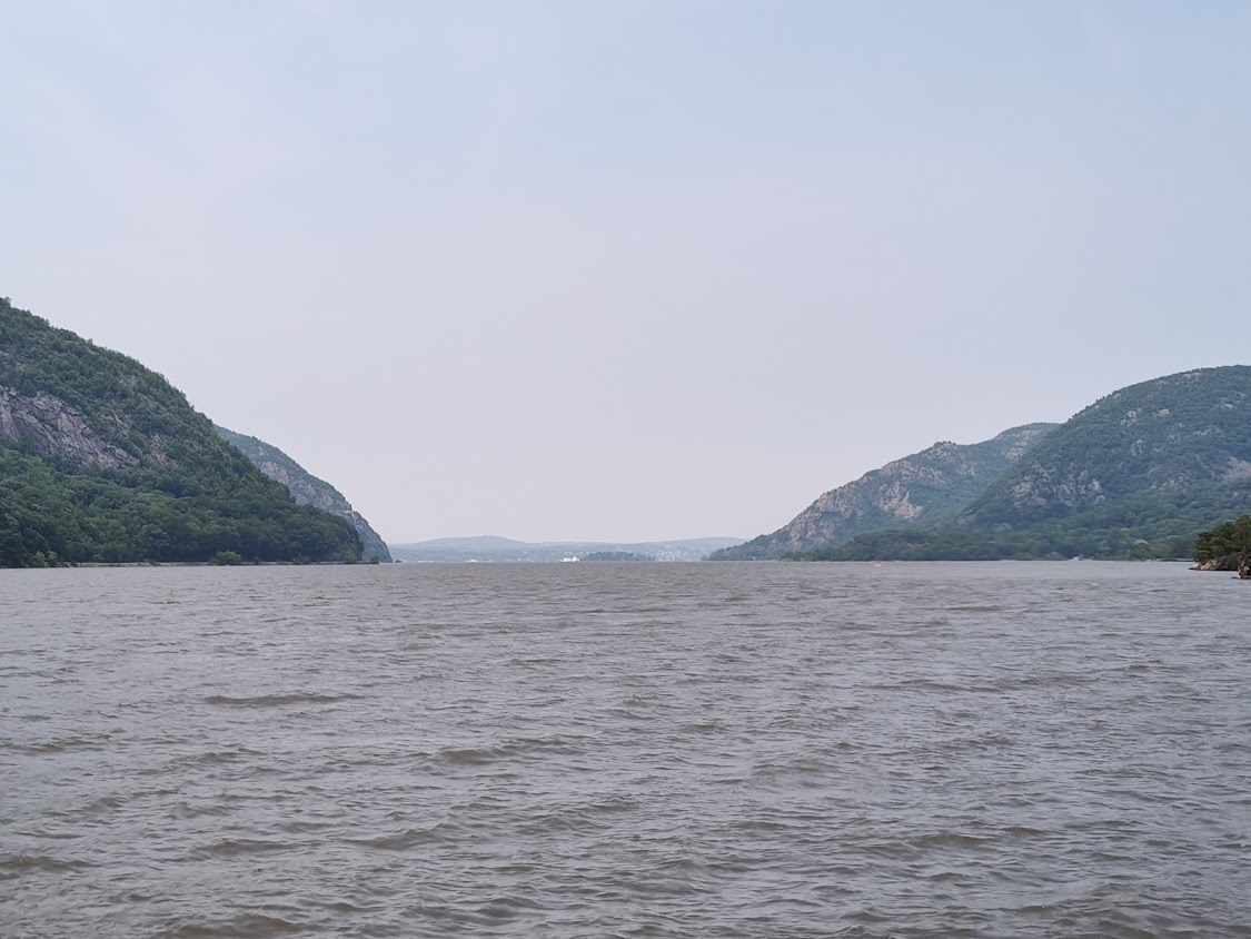
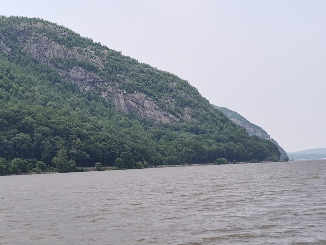
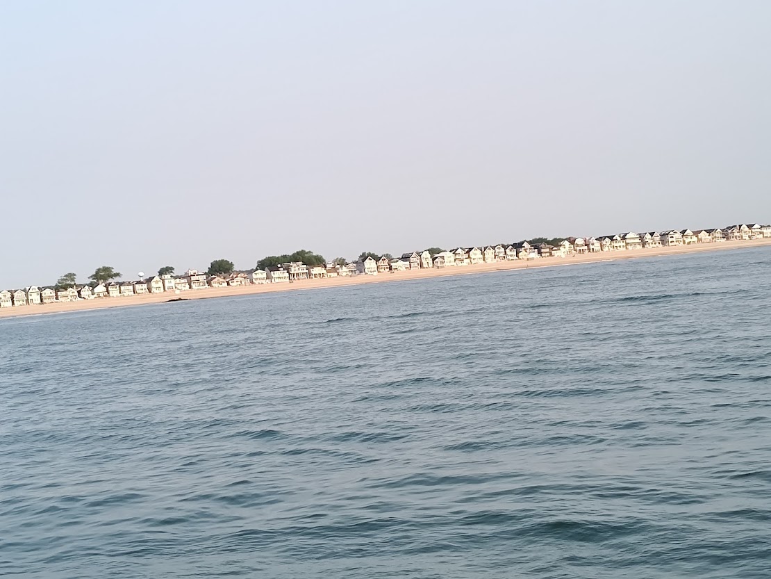
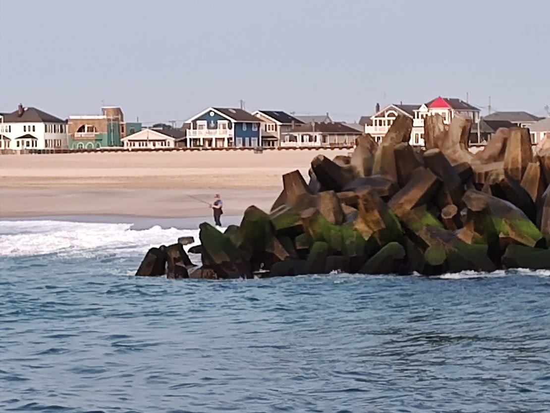
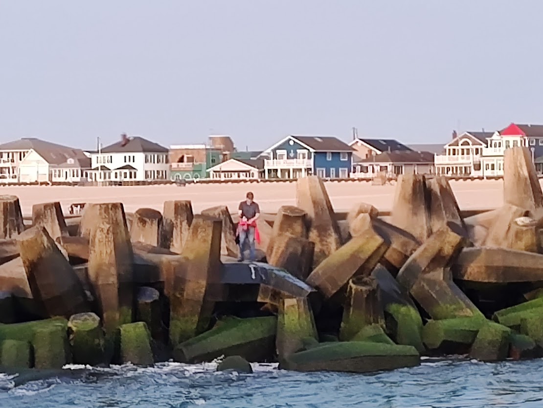
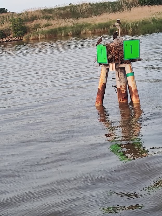
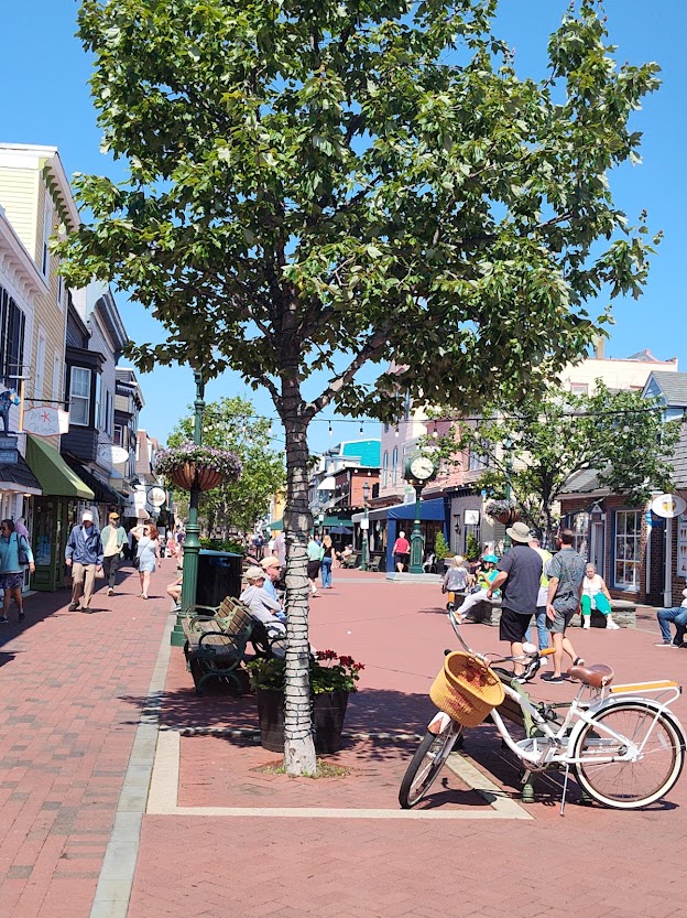
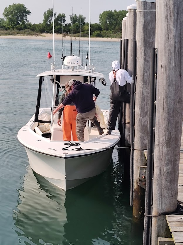
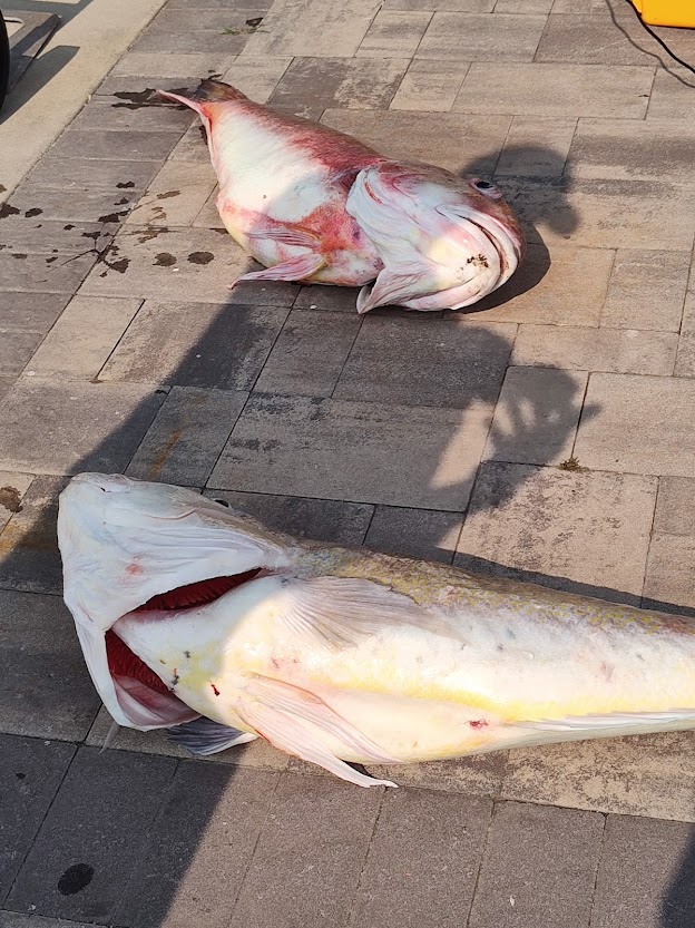
Here are some pictures of various sights along the way.


We didn’t have enough time to make it to Lock 19, so we stopped at Ilion Marina. Though we have power here, the air conditioning in the salon isn’t working. Den called ahead to Ess-Kay Marina in Brewerton where we hope to dock tomorrow to see if someone might be available to evaluate/repair the air conditioning.
Cooler this morning on Thurs., June 26! Because we’re going to try to reach Ess-Kay today, we’re up and on the way early. The forecast tells us that it’s going to rain later but hopefully not too much while we’re traversing the locks.
There is a great deal of debris in the water that we have to dodge, plus the water depth is very low in some areas. There was a spot past Lock 19 at which our transducer registered a depth of only 4.6 feet; we draw nearly four feet! Because of how shallow it is, one of the sailboats we were with at Lock 16 has hired TowboatUS to pull them through that (hopefully all muddy) area.
Soon after that spot, we saw dredging machines at various points working to excavate and deepen this part of the canal system.


We passed a spillway and tainter gate no longer in use.


Again, lots of debris to dodge and not all from nature.


We made it to the mouth of Oneida Lake …

… and began a somewhat rough crossing given the increasingly choppy water further into the lake. The east wind was on our stern which made for a following sea.

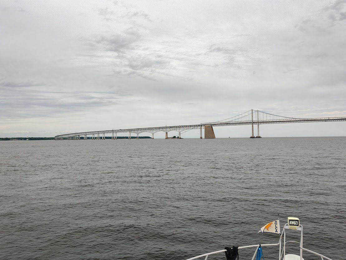
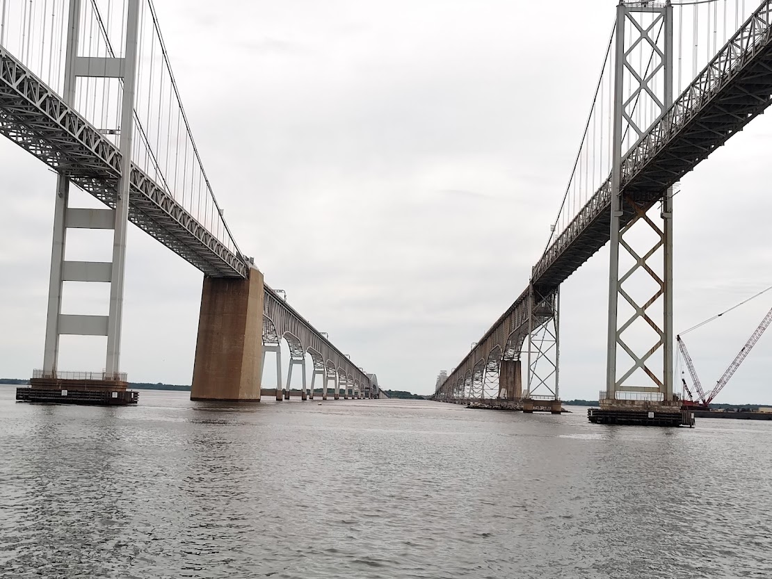
After successfully crossing the lake, we passed the 43 North Marina (pictured below on left). We see this marina every time we travel over the Rt. 81 bridge (also pictured, on right) going to and from Syracuse from home in NY’s North Country.


We reached Ess-Kay around 5:00pm where we were able to pump out and put on fuel! Twelve Looper boats are here, and nine others are at nearby Winter Harbor Marina. While the engine was warm, we emptied the old oil in order to do an oil change tomorrow, as we’re due.
Fri., June 27, again brought cooler temperatures, and we took advantage of that to accomplish chores such as the oil change and some cleaning as well as a whirlwind trip to both the laundromat and Wegman’s in the courtesy car. Ess-Kay was able to put us in touch with an air conditioning technician who indicated that the unit needs a new control board. So, we have decisions to make on that. Meanwhile, we’re grateful to be experiencing cooler temperatures and, thus, not as much in need of a functioning salon unit.
Sat., June 28, found us up early and to Lock 23 by 7:15 though the Lockmaster won’t open until 8:00. (While passing Winter Harbor Marina on the way, we waved to the folks on “Mooring Dove.”) We tied up to the lock wall to wait along with numerous other boats. To pass the time, Den got out of the boat and walked along the wall. Chuck (“Til You Can’t”) warned him that he’d better keep his shoes on given the signage.


This is the last lock on this branch of the Erie Canal (Oneida River), as we will soon enter the Oswego River at Three Rivers (the merging of the Oswego, Oneida, and Seneca Rivers). If you were going to continue on the Erie Canal to Buffalo, you’d take the Seneca River into the Finger Lakes. However, we’re going to Clayton, so we will be heading north on the Oswego.
At one of the locks on the Oswego River branch, we spied the historic Governor Roosevelt tugboat which was built in 1928 and used as an ice breaker though more recently employed by the Canal Corps for canal maintenance such as removal of debris.

Exiting Lock 3 at Fulton was challenging owing to the amount of current. Though the waterfall was pretty, the hydraulics were pulling us toward the wall!


We spent the night at the village dock in Minetto located right before Lock 5, as we anticipated that spots further along the way were going to be already claimed by boats running ahead of us. It gave all of us, dogs included, a chance to stretch our legs – and end up later at Stewarts for ice cream! In the photo below, Chuck had volunteered to walk the dogs for us, and Dennis caught up with them in time to exchange greetings with a passerby.

On Sun. June 29, we were up early and waiting for the Lockmaster to open Lock 5. Because we hope to make it all the way to home port today, I’ve dug out and donned my official Great LoopFleet of 2025 t-shirt in honor of the occasion.

We traversed Locks 5 – 8 at a reasonable pace. The Lockmaster at Lock 8 (final lock) joked that he was getting a complex, because everyone is so happy to be getting away from his lock! Below are some pictures from our last lock through as well as buildings near the riverside in the city of Oswego. In the final picture, if you look under the bridge, you can see Lake Ontario stretching out into the distance.


Leaving Oswego …

… and entering Lake Ontario.


Because we’re taking the waves on the port beam, it’s a bit rocky and rough. We heard from “Asylum” (Steve and Stacy) that they’re headed this way, too. Chuck (“Til You Can’t) sent us a screen shot (below) of the deepest spot they’ve seen yet on the trip, that is, a depth of 513 feet.

Almost home!

It’s so strange to see our tracks from last year when we left on the trip show up on Maptech. (See squiggly red line – depicting old track – at the top of the below display).

Docked back home at 4:47 pm – one year and one week later (June 22, 2024 to June 29, 2025) – at Bayside Marina!
Though taken later, below is the “official” picture of us having “crossed our wake” to become “Gold Loopers.” Kim (“Til You Can’t”) made the special gold scarves for the dogs, as they are also Gold Loopers.

The day that we actually crossed our wake, however, (June 29) the “welcoming committee” at the dock provided balloons and beverages.


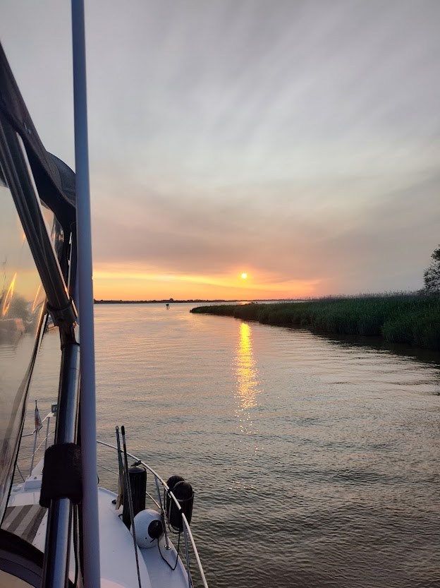
Sunset at home (Bayside Marina) that evening …

We celebrated again on Mon., June 30, first by taking the inflatable to the town marina to say hi to Cathy and Lee (“Remedy”) and to meet Chuck and Kim (“Til You Can’t”) for a swim in the beautiful St. Lawrence River …

… and then to later dine at the 1000 Islands Harbor Hotel restaurant with Chuck, Kim, Cathy, Lee, Christine and Ken (“Seahorse”). On the way to the restaurant, we paused for this photo op in front of the Clayton sign to “close the loop” on what was a once-in-a-lifetime experience. We thank the Lord for the opportunity to have met so many wonderful people, seen so many sights, and enjoyed so many experiences throughout this journey.