The Chesapeake (NC, VA, MD)
We left Coinjock Marina (NC) in a parade of boats (including “Til You Can’t” and “2nd Chance”) on Fri., May 9, and heard securite calls (safety messages to alert other mariners to a boat’s location or a hazard) from aircraft carriers along the way. Soon after, we entered VA. Traversed four bridges today, a couple very small ones.


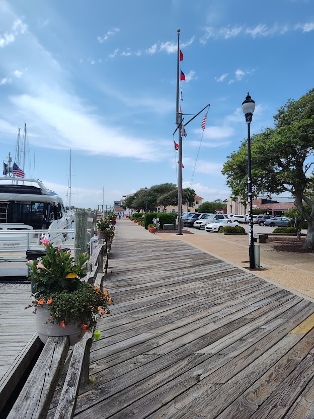
One town along the way added an artistic flair to their shoreline life ring posts.


Approaching Norfolk (the start of the lower Chesapeake), things got much busier, the presence of ships and industry beginning in force. The chatter on the three vhf radios we use was constant.


The Naval Station in Norfolk is the world’s largest, and that became increasingly clear.


Barracks at the naval station are pictured below as well as some sort of loading apparatus that is there.


We docked – more like squeezed into a slip (see second picture below) – at Waterside Marina in Norfolk.


The cloudy day gave way to rain and cooler temperatures.
The next day, Sat., May 10, Dennis and Doug (“2nd Chance”) went to see the battleship Wisconsin …

… while Barbara, Kim, and I found a “pop-up” market, spotting a unique store dedicated to creating and maintaining houseplants.

We all enjoyed watching the tugs expertly pushing a car carrier to the dock.


That evening, Chuck and Kim (“Til You Can’t”) invited Kim Russo, the Director of the American Great Loop Cruisers’ Association (AGLCA), and her husband Mike (“The Perch”) to join our three boat couples for dinner. Kim and Mike were still in the area because the ALGCA Spring Rendezvous had just wrapped up in Norfolk. We had a great meal at the Freemason Abbey.


Sunday morning (May 11) was beautiful and calm. We said goodbye to Chuck and Kim (“Til You Can’t”), as they’re headed up the east side of Chesapeake Bay while we’re travelling up the west side to Deltaville with Doug and Barbara (“2nd Chance”). Before we left, a Carnival Cruise ship came into dock.

Here are some of the sights we had leaving Norfolk.


On our first travel day on Chesapeake Bay, we were blessed with calm waters. Because it is very wide, it can be rough in bad weather. However, we knew inclement weather was coming, so we made it to the little town of Deltaville, VA, where we planned to stay a few days riding out the storm. For such a small, rural marina, they had a large pool, highly unusual from our experience. They were repairing it (plus it was cool outside), so this is as close as we could get!

Though a small town, Deltaville actually had a West Marine, so Dennis felt right at home.

They also had the oldest (1948) all-wooden ballpark in VA. Here is Dennis and Barbara at the home of the Deltaville Deltas.

While here, Dennis replaced the seawater pump on the starboard engine. The nasty weather came on Tues., May 13, with gusts up to 25 mph. After doing his virtual Bible study Tues. morning, Dennis discovered that another member of the study group, Dan (“Kairos”), was on a sailboat in this same little marina. Very small world.

On Wed., May 14, we left with Doug and Barbara (“2nd Chance”) at 6:30 in order to get to Solomons Island before the next wave of bad weather was to hit. Foggy this morning, so we’re running the radar. We’d wanted to go to Tangier and Smith Islands, but for a variety of reasons had to skip them and head to Solomons Island. While underway, the right engine was running very hot, which was curious, as Dennis had just changed out the seawater pump. He was afraid that we wouldn’t be able to continue. However, when he later turned off the running lights, the gauge showed a normal temperature. There must be a draw on it somewhere. We were thanking God for that revelation in the nick of time.
The heavy fog set in after 8:00, causing us to use the fog horn. We were grateful for AIS (Automatic Identification System) so that we could see the location of other boats around us. However, not all boats use AIS. Boats without it were calling on Channel 16 or trying to use Nebo to track and contact other boats. Because we were rocking and rolling, it was difficult to keep the boat on course.
During this, Dan (“Kairos”) who was also headed to Solomons Island contacted us, as their sailboat’s stuffing box was leaking, and he needed to borrow a wrench. Ensuring that they weren’t in immediate danger, we slowed down significantly so they could catch up. However, Dan eventually determined that the bilge pump was handling the flow, and they were safe to continue to Solomons.
The fog didn’t lift until 11:30. At one point, we heard a banging noise. The only explanation we could come up with was that we ran over a crab pot. It was deep water, but perhaps it had broken loose and floated there. We weren’t dragging anything that we could see, so hopefully we won’t find it under the boat this fall!
We made it to the Solomons Island Yacht Club in MD (first picture below) where we were able to get a slip because the AGLCA harbor host is a member. Chuck and Kim (“Til You Can’t”) had also arrived.


Solomons Island is an island almost in name only, as it is separated from the mainland by a few feet. Dennis is standing on the small bridge between the island and the rest of MD.


During WWII, the Secretary of the Navy appropriated 96 acres of land on Solomons Island for the first Amphibious Training Base. From July 1942 to April 1945, the population of the little island (263) exploded with nearly 68,000 officers and enlisted men transiting through and preparing for amphibious operations, including D-Day.
The next day, Doug and Barbara (“2nd Chance”), who were staying at a nearby marina, picked us up in their dinghy (Thurs., May 15), and we boated over to the Calvert Marine Museum meeting Chuck and Kim (“Til You Can’t”) who that day chose to bike.

The museum provided a great deal of information about the livelihood of the watermen who (traditionally) mainly harvested oysters but also eels, clams, and crabs. The fall and winter months are and were dedicated to oystering. In the winter of 1884-1885, 15 million bushels of oysters were landed in Maryland, comprising approximately one-third of the commercial production that year for the world. Today, regulations limit harvests in order to preserve the beds. Pictured below are a set of tongs and a dredge, both used in times past for oystering.


Outside – but part of the museum – is the Drum Point Lighthouse, a hexogonal structure built on seven iron screw piles that was originally located at the mouth of the Patuxent River. It is one of only four surviving Chesapeake Bay screw-pile lighthouses.

Dinner that evening at the CD Cafe – recommended by Mary (“Legacy”) – was very good. We were joined by Chuck and Kim (“Til You Can’t”), Doug and Barbara (“2nd Chance”), and Andrew and Kate (“Tortuga”). While there, we saw George and Christine (“Resonance”) whom we’d met at Fernandina Beach.
Below are some sights from Solomons Island, including a church with an image of a ship in its stained glass window. It was great to see roses blooming as well as some farmland remaining undeveloped on the island.


On Fri., May 16, we crossed to Cambridge on the east side of the Chesapeake while “Til You Can’t” and “2nd Chance” made their way to sites on the Chesapeake’s west side. Cambridge would put us closer to Nathan (son/stepson), Kim (daughter-in-law), and their children, Thomas and Katherine, for a visit. On our way, we passed an offshore liquid natural gas shipping terminal.

We were fortunate to have good weather while crossing and in the early afternoon entered the Choptank River leading us to the Cambridge Marina.


Later, Nathan and Thomas arrived for a visit on the boat, brief tour of the Choptank River Lighthouse (a replica) at the end of the dock, and a delicious Detroit-style pizza in town.


Owing to a rare late-May Nor’easter, we will spend a good deal longer than anticipated in Cambridge. Details to follow in the next update.